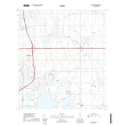
2018 Map of Narcoossee NW
USGS Topo · Published 2018About this map
The southeastern suburban reaches of Orlando meet the expansive wetlands of the Florida interior in this 2018 survey. The landscape is defined by large bodies of water including Lake Hart and Lake Mary Jane, separated by the distinct high ground of Crosby Island. Institutional growth is evident at the Valencia College Lake Nona Campus, marking the westward expansion of residential and educational infrastructure. East of these developments, the terrain transitions into a primitive hydraulic system of creeks and marshes, such as Wide Cypress Swamp and the headwaters of the Econlockhatchee River. The map documents a modern interface where master-planned communities and golf courses sit adjacent to long-standing natural features like Little Bear Island and the Isshton Canal, illustrating the ongoing transformation of the central Florida wetlands.
Find a feature on this map
77 named features on this map. Tap any name to fly to it.
Don’t see what you’re looking for? This feature index may not catch every label — zoom into the map to look around manually.
Map Details
Editions of this 2018 Narcoossee NW Map
This is the sole edition of this map. No revisions or reprints were ever made.
Other maps of this area

1953 · Narcoossee NE
USGS Topo · 1:24,000

1953 · Narcoossee SE
USGS Topo · 1:24,000

1953 · St Cloud North
USGS Topo · 1:24,000

1953 · Narcoossee
USGS Topo · 1:24,000

1953 · Pine Castle
USGS Topo · 1:24,000

1953 · Oviedo SW
USGS Topo · 1:24,000

1953 · Narcoossee NW
USGS Topo · 1:24,000

1953 · Bithlo
USGS Topo · 1:24,000

1955 · Orlando
USGS Topo · 1:250,000

1956 · Orlando East
USGS Topo · 1:24,000