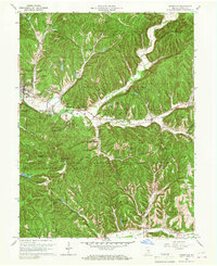
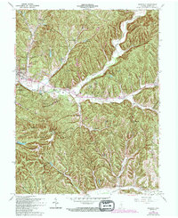
1961 Map of Nashville
USGS Topo · Published 1963About this map
Nashville serves as the focal point of this mid-century landscape, situated where the North Fork Salt Creek winds through the prominent ridges of Brown County. The terrain is defined by deep hollows like Bearwallow Hollow and Taylor Hollow, leading up to significant elevations at Weed Patch Hill and Hohen Point. This map captures a transition era for the region, showing the established Brown County State Park and the Hoosier National Forest boundary alongside small, rural communities. The map highlights the localized nature of mid-century infrastructure, featuring landmarks like the Covered Bridge and the County High Sch. Genealogists and historians can trace the distribution of family-named sites, including David Cem and Pittman Cem, while identifying the early road network that connected outlying settlements like Gnaw Bone and Pikes Peak to the county seat.
Find a feature on this map
87 named features on this map. Tap any name to fly to it.
Don’t see what you’re looking for? This feature index may not catch every label — zoom into the map to look around manually.
Map Details
Editions of this 1961 Nashville Map
5 editions found
Other maps of this area

1942 · Franklin
USGS Topo · 1:125,000

1946 · Belmont
USGS Topo · 1:24,000

1947 · Nashville
USGS Topo · 1:24,000

1947 · Elkinsville
USGS Topo · 1:24,000

1947 · Franklin
USGS Topo · 1:62,500

1948 · New Bellsville
USGS Topo · 1:24,000

1948 · Waymansville
USGS Topo · 1:24,000

1948 · Nineveh
USGS Topo · 1:24,000

1948 · Fruitdale
USGS Topo · 1:24,000

1948 · Morgantown
USGS Topo · 1:24,000