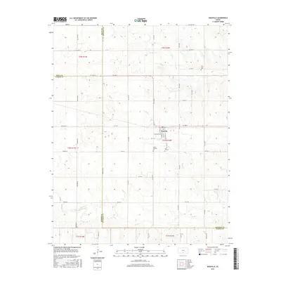
2015 Map of Nashville
USGS Topo · Published 2015About this map
Nashville sits at the heart of this rural landscape, a concentrated grid of streets including S Main St and W Central Ave. This 2015 survey reveals a terrain defined by agricultural section lines and the meandering courses of Skunk Cr and Sand Cr. For genealogists and local historians, the map provides precise locations for three distinct burial grounds: Old Bross Cem in the northeast, and the Liberty Township Cem and Saint John Cem located just south of the main settlement. The survey area spans the borders of Kingman, Pratt, and Barber counties, showing a persistent rural layout where roads like Mumford Rd and Tri-City Rd navigate the low-lying drainage basins of the local creeks.
Find a feature on this map
83 named features on this map. Tap any name to fly to it.
Don’t see what you’re looking for? This feature index may not catch every label — zoom into the map to look around manually.
Map Details
Editions of this 2015 Nashville Map
This is the sole edition of this map. No revisions or reprints were ever made.
Other maps of this area

1889 · Anthony
USGS Topo · 1:125,000

1891 · Medicine Lodge
USGS Topo · 1:125,000

1891 · Anthony
USGS Topo · 1:125,000

1892 · Kingman
USGS Topo · 1:125,000

1892 · Pratt
USGS Topo · 1:125,000

1893 · Medicine Lodge
USGS Topo · 1:125,000

1894 · Kingman
USGS Topo · 1:125,000

1894 · Pratt
USGS Topo · 1:125,000

1955 · Pratt
USGS Topo · 1:250,000

1959 · Pratt
USGS Topo · 1:250,000