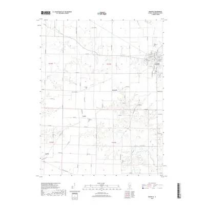
2018 Map of Nashville
USGS Topo · Published 2018About this map
The city of Nashville serves as the focal point of this Washington County landscape, where the intersection of state routes and local streets provides a clear view of the community's modern layout. To the south and west, the terrain transitions into a mosaic of agricultural plots and small unincorporated settlements like Kempside, Cordes, and Oakdale. These areas are defined by a network of rural roads such as Elklandier School Rd and Hahlen Church Rd, which link scattered farmsteads and historic family sites.
Find a feature on this map
74 named features on this map. Tap any name to fly to it.
Don’t see what you’re looking for? This feature index may not catch every label — zoom into the map to look around manually.
Map Details
Editions of this 2018 Nashville Map
This is the sole edition of this map. No revisions or reprints were ever made.
Other maps of this area

1910 · Okawville
USGS Topo · 1:62,500

1914 · Coulterville
USGS Topo · 1:62,500

1917 · Coulterville
USGS Topo · 1:62,500

1924 · Pinckneyville
USGS Topo · 1:62,500

1926 · Pinckneyville
USGS Topo · 1:62,500

1931 · Hoyleton
USGS Topo · 1:48,000

1932 · Nashville
USGS Topo · 1:62,500

1936 · Nashville
USGS Topo · 1:62,500

1940 · Okawville
USGS Topo · 1:62,500

1958 · Belleville
USGS Topo · 1:250,000