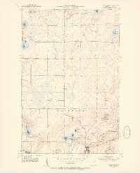
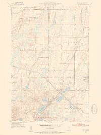
1952 Map of Nashwauk
USGS Topo · Published 1954About this map
The massive open-pit operations of the Mesabi Iron Range dominate the landscape around Nashwauk and Cooley in this mid-century survey. Industrial activity is centered on the Argonne Mine, Hawkins Mine, and Calbraith Mine, where an intricate network of mine dumps, tailings ponds, and levees has fundamentally reshaped the local topography. The Great Northern railroad provides the vital link for moving ore south, cutting through the heavy industrial zone that borders the primary settlements.
Find a feature on this map
31 named features on this map. Tap any name to fly to it.
Don’t see what you’re looking for? This feature index may not catch every label — zoom into the map to look around manually.
Map Details
Editions of this 1952 Nashwauk Map
3 editions found
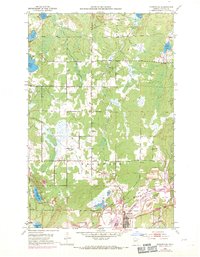
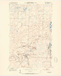
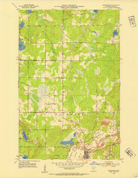
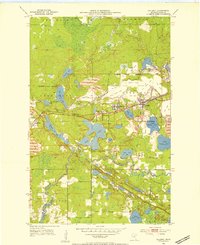
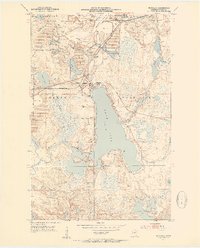
Other maps of this area

1919 · Release
USGS Topo · 1:62,500

1920 · Trout Lake
USGS Topo · 1:62,500

1943 · Release
USGS Topo · 1:62,500
1952 · Keewatin
USGS Topo · 1:24,000
1952 · Nashwauk
USGS Topo · 1:24,000
1952 · Silica
USGS Topo · 1:24,000
1952 · Calumet
USGS Topo · 1:24,000
1952 · Pengilly
USGS Topo · 1:24,000

1954 · Hibbing
USGS Topo · 1:250,000

1957 · Hibbing
USGS Topo · 1:250,000