1952 Map of Nashwauk
USGS Topo · Published 1971About this map
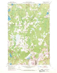
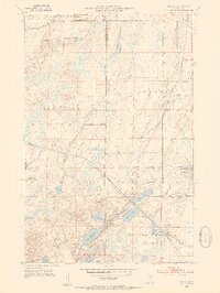
Nashwauk anchors this 1952 topographic study of Minnesota's Iron Range, reflecting an era defined by industrial expansion and the extensive extraction of iron ore. The landscape is heavily marked by the operations of the Argonne Mine, Calbraith Mine, and Hawkins Mine, featuring numerous mine dumps, tailings ponds, and levees that dominate the southeastern quadrant. The logistical backbone of this industrial activity is visible through the Burlington Northern railroad and an old railroad grade, which weave through the terrain to connect these sites. In addition to the mining infrastructure, the map details community life through landmarks like the Cloverdale Sch, the Nashwauk Cem, and the small settlement of Cooley. The contrast between the disturbed mining lands and the natural hydrography of Harrison Lake, Dollar Lake, and Little McCarthy Lake illustrates the massive scale of human intervention in the northern wilderness during the mid-20th century.
Find a feature on this map
29 named features on this map. Tap any name to fly to it.
Don’t see what you’re looking for? This feature index may not catch every label — zoom into the map to look around manually.
Map Details
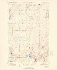
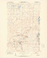
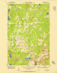
Editions of this 1952 Nashwauk Map
3 editions found
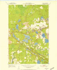
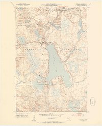
Other maps of this area

1919 · Release
USGS Topo · 1:62,500

1920 · Trout Lake
USGS Topo · 1:62,500

1943 · Release
USGS Topo · 1:62,500
1952 · Keewatin
USGS Topo · 1:24,000
1952 · Nashwauk
USGS Topo · 1:24,000
1952 · Silica
USGS Topo · 1:24,000
1952 · Calumet
USGS Topo · 1:24,000
1952 · Pengilly
USGS Topo · 1:24,000

1954 · Hibbing
USGS Topo · 1:250,000

1957 · Hibbing
USGS Topo · 1:250,000