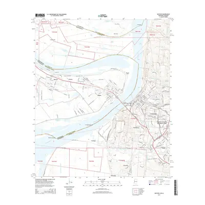
1963 Map of Natchez
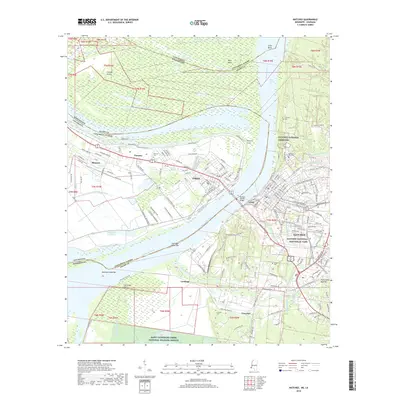
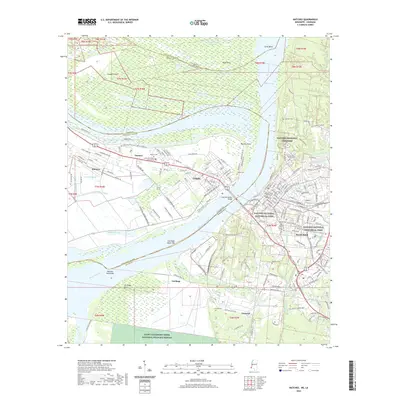
USGS Topo · Published 1972About this map
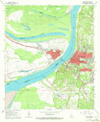
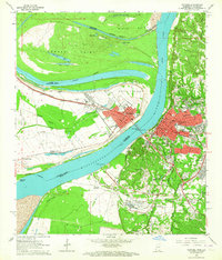
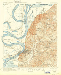
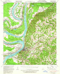
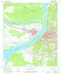
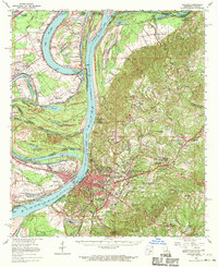
Mississippi River boatmen and railroad engineers define the mid-century activity across this reach, where the Giles Cutoff and Rifle Point create a complex landscape of chutes and oxbow lakes. On the eastern bluffs, Natchez stands as a dense grid of industry and education, featuring the Natchez Jr College and the sprawling City Cemetery. The riverfront is a critical infrastructure hub, anchored by the Natchez-Vidalia Bridge and the Natchez-Adams Co Port. Across the water in Vidalia, the Missouri Pacific line skirts the levee system, passing the Vidalia Oil Field and the old Whitehall Plantation. The presence of the National Cem and various family-named sites like the Routh Cem provides significant detail for those tracing the transition from plantation-era landholdings to the mid-twentieth-century industrial expansion along St Catherine Creek.
Find a feature on this map
90 named features on this map. Tap any name to fly to it.
Don’t see what you’re looking for? This feature index may not catch every label — zoom into the map to look around manually.
Map Details
Editions of this 1963 Natchez Map
3 editions found
Historical Maps of Natchez Through Time
15 maps found

1921 Natchez
Adams County, MS
1922 Natchez
Adams County, MS
1939 Natchez
Adams County, MS
1953 Natchez
Adams County, MS

1956 Natchez
Adams County, MS

1959 Natchez
Adams County, MS
1963 Natchez
Adams County, MS
1965 Natchez
Adams County, MS

1984 Natchez
Adams County, MS

1991 Natchez
Adams County, MS
2012 Natchez
Adams County, MS
2015 Natchez
Adams County, MS
2018 Natchez
Adams County, MS
2020 Natchez
Adams County, MS
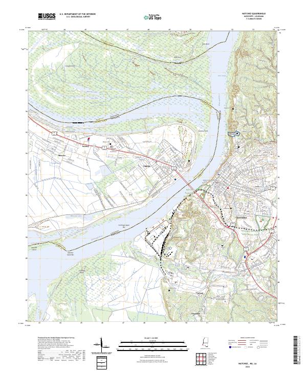
2024 Natchez
Adams County, MS