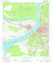
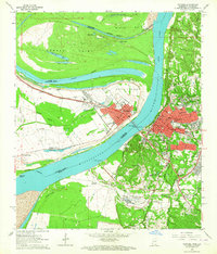
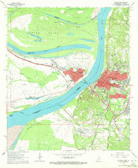
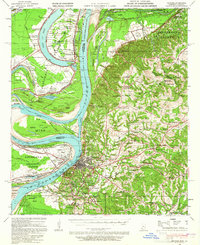
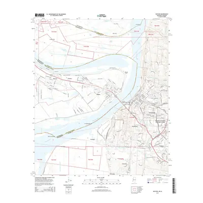
1963 Map of Natchez
USGS Topo · Published 1977About this map
The Mississippi River creates a dramatic divide between the bluffs of Natchez and the low-lying plains of Vidalia. This survey, updated with late 1970s revisions, illustrates a landscape defined by river engineering and industrial growth. To the west, the Waverly Point Oil Field and numerous oil wells dot the alluvial flats of Waverly Point and Cowpen Point. The river’s historical path is traced through features like the Giles Cutoff and Natchez Island, showing how the water has been managed for the Natchez - Adams Co Port. On the Mississippi side, the map provides dense detail for genealogists, including the National Cem, the sprawling City Cemetery, and educational institutions like Natchez Jr College and Cathedral High Sch. The presence of Whitehall Plantation and Scotland Plantation south of Vidalia points to the region's enduring agricultural heritage along the levee system.
Find a feature on this map
89 named features on this map. Tap any name to fly to it.
Don’t see what you’re looking for? This feature index may not catch every label — zoom into the map to look around manually.
Map Details
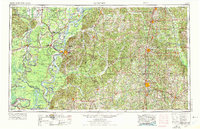
Editions of this 1963 Natchez Map
3 editions found
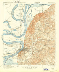
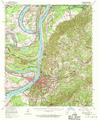
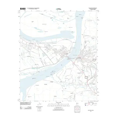
Historical Maps of Natchez Through Time
15 maps found

1921 Natchez
Adams County, MS
1922 Natchez
Adams County, MS
1939 Natchez
Adams County, MS
1953 Natchez
Adams County, MS

1956 Natchez
Adams County, MS

1959 Natchez
Adams County, MS
1963 Natchez
Adams County, MS
1965 Natchez
Adams County, MS

1984 Natchez
Adams County, MS

1991 Natchez
Adams County, MS
2012 Natchez
Adams County, MS
2015 Natchez
Adams County, MS
2018 Natchez
Adams County, MS
2020 Natchez
Adams County, MS
2024 Natchez
Adams County, MS