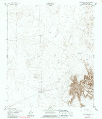
1955 Map of Nations East Well
USGS Topo · Published 1987About this map
Nations East Well serves as the focal point of this arid landscape in El Paso County, where survival and movement were defined by sparse water sources. The 1955 survey illustrates a terrain dominated by strategic watering points and ranching infrastructure, such as the prominent Joint Well to the north. These isolated wells and tanks, including Tiger Tank and Corral Tank, suggest a reliance on catchments and groundwater for livestock and travel across the high desert floor. Long stretches of Fence lines cut across the topography, marking property boundaries or grazing sectors in an area otherwise devoid of major settlements or established roads. Near the southeastern corner, the concentration of water at San Juan Tank and East Tank indicates localized activity centers within this vast, open environment.
Find a feature on this map
7 named features on this map. Tap any name to fly to it.
Don’t see what you’re looking for? This feature index may not catch every label — zoom into the map to look around manually.
Map Details
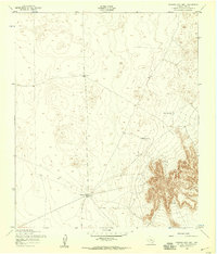
Editions of this 1955 Nations East Well Map
2 editions found
Other maps of this area

1896 · El Paso
USGS Topo · 1:125,000

1908 · El Paso
USGS Topo · 1:125,000

1939 · Heuco Tanks
USGS Topo · 1:62,500

1940 · Heuco Tanks
USGS Topo · 1:62,500

1940 · Newman
USGS Topo · 1:62,500

1941 · Desert
USGS Topo · 1:62,500

1942 · Fort Bliss
USGS Topo · 1:62,500

1943 · Desert
USGS Topo · 1:62,500

1943 · Newman
USGS Topo · 1:62,500

1944 · Heuco Tanks
USGS Topo · 1:62,500