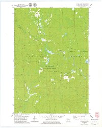
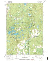
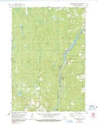
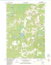
1978 Map of Natzke Camp
USGS Topo · Published 1979This historical map portrays the area of Natzke Camp in 1978, primarily covering Lincoln County. Featuring a scale of 1:24000, this map provides a highly detailed snapshot of the terrain, roads, buildings, counties, and historical landmarks in the Natzke Camp region at the time. Published in 1979, it is the sole known edition of this map.
Find a feature on this map
22 named features on this map. Tap any name to fly to it.
Don’t see what you’re looking for? This feature index may not catch every label — zoom into the map to look around manually.
Map Details
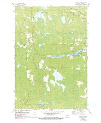
Editions of this 1978 Natzke Camp Map
This is the sole edition of this map. No revisions or reprints were ever made.
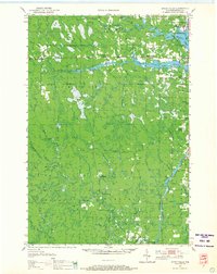
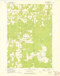
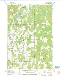
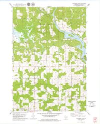
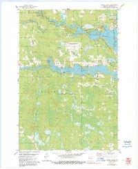
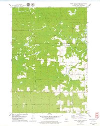
Historical Maps of Lincoln County Through Time
16 maps found
1950 Spirit Falls
Lincoln County, WI

1951 Hamburg
Lincoln County, WI

1952 Spirit Falls
Lincoln County, WI
1973 Doering
Lincoln County, WI
1973 Gleason
Lincoln County, WI
1973 Parrish
Lincoln County, WI
1978 Alexander Lake
Lincoln County, WI
1978 Coffee Creek
Lincoln County, WI
1978 Fromm Lookout Tower
Lincoln County, WI
1978 Grandfather Falls
Lincoln County, WI
1978 Natzke Camp
Lincoln County, WI
1978 Spirit Falls
Lincoln County, WI
1982 Bloomville
Lincoln County, WI
1982 Harrison
Lincoln County, WI
1982 Irma
Lincoln County, WI
1982 Pine Dells
Lincoln County, WI