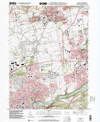
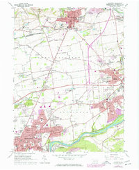
1964 Map of Nazareth
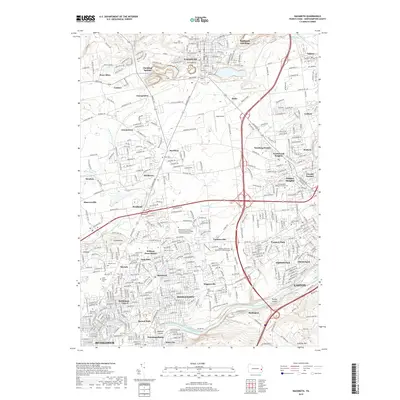
USGS Topo · Published 1984About this map
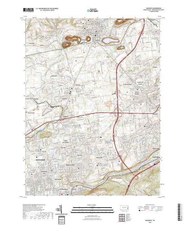
Nazareth and the surrounding Lehigh Valley are depicted here during a period of significant suburban expansion and industrial transition. The map captures the dense settlement of Bethlehem in the southwest, where the Lehigh River and the historic Lehigh Canal parallel the Conrail lines, marking the region's deep roots in the river-and-rail economy. Institutional landmarks are prominent, including the Moravian Seminary For Girls and the Naval Reserve Training Center. Moving north, the landscape transitions from the residential clusters of Butztown and Middletown into the limestone-rich terrain of Lower Nazareth, punctuated by numerous quarries. Small hamlets like Christian Springs and Hecktown are caught between traditional farm layouts and the encroaching development of modern subdivisions and the expansive Louise W Moore Park.
Find a feature on this map
100 named features on this map. Tap any name to fly to it.
Don’t see what you’re looking for? This feature index may not catch every label — zoom into the map to look around manually.
Map Details
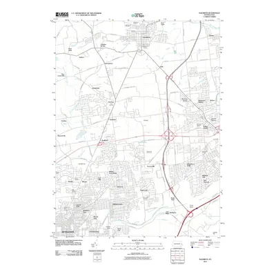
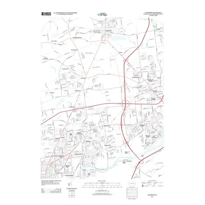
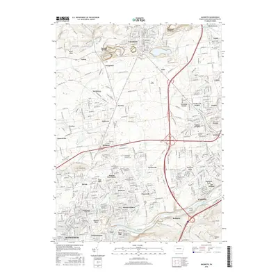
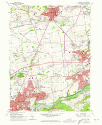
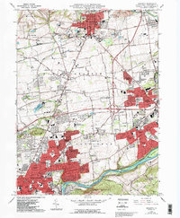
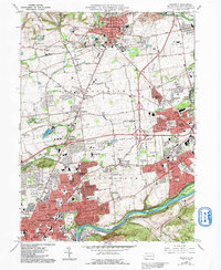
Editions of this 1964 Nazareth Map
6 editions found
Historical Maps of Bethlehem Through Time
7 maps found