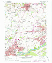
1964 Map of Nazareth
USGS Topo · Published 1972About this map
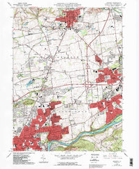
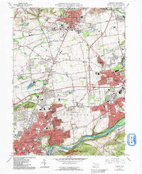
Nazareth and the northern outskirts of Bethlehem serve as the focal points of this mid-century portrait of Northampton County. The landscape is defined by the transition from the industrial valley floor near the Lehigh River to the upland agricultural and institutional grounds of Upper Nazareth. Significant landmarks such as the Moravian Seminary For Girls, the Gracedale County Home, and the St Francis Friary reflect a community deeply rooted in education and social infrastructure.
Find a feature on this map
124 named features on this map. Tap any name to fly to it.
Don’t see what you’re looking for? This feature index may not catch every label — zoom into the map to look around manually.
Map Details
Editions of this 1964 Nazareth Map
6 editions found
Other maps of this area

1890 · Easton
USGS Topo · 1:62,500

1891 · Easton
USGS Topo · 1:62,500

1891 · Delaware Water Gap
USGS Topo · 1:62,500

1893 · Delaware Water Gap
USGS Topo · 1:62,500

1894 · Allentown
USGS Topo · 1:62,500

1914 · Wind Gap
USGS Topo · 1:62,500

1916 · Wind Gap
USGS Topo · 1:62,500

1932 · Easton
USGS Topo · 1:62,500

1936 · Delaware Water Gap
USGS Topo · 1:48,000

1939 · Allentown
USGS Topo · 1:62,500