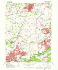
1964 Map of Nazareth
USGS Topo · Published 1973About this map
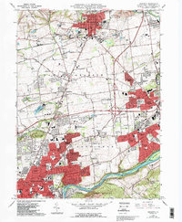
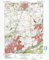
Nazareth and the northern outskirts of Bethlehem dominate this Lehigh Valley landscape during a period of significant suburban expansion. The transition from industrial and agricultural roots is visible through the numerous quarries and the legacy of the Lehigh Canal along the Lehigh River, while new purple-tinted residential growth reaches toward Hecktown and Palmer Heights. Local history is deeply rooted in institutions like the Moravian Seminary For Girls and the Gracedale County Home, alongside many faith-based landmarks such as the St Francis Friary and Holy Family Ch. The infrastructure of the era is marked by the Lehigh and Erie-Lackawanna rail lines and the presence of the Church Hill Airport, illustrating a region in the midst of modernizing its transit and residential footprint.
Find a feature on this map
112 named features on this map. Tap any name to fly to it.
Don’t see what you’re looking for? This feature index may not catch every label — zoom into the map to look around manually.
Map Details
Editions of this 1964 Nazareth Map
6 editions found
Other maps of this area

1890 · Easton
USGS Topo · 1:62,500

1891 · Easton
USGS Topo · 1:62,500

1891 · Delaware Water Gap
USGS Topo · 1:62,500

1893 · Delaware Water Gap
USGS Topo · 1:62,500

1894 · Allentown
USGS Topo · 1:62,500

1914 · Wind Gap
USGS Topo · 1:62,500

1916 · Wind Gap
USGS Topo · 1:62,500

1932 · Easton
USGS Topo · 1:62,500

1936 · Delaware Water Gap
USGS Topo · 1:48,000

1939 · Allentown
USGS Topo · 1:62,500