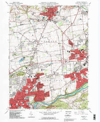
1964 Map of Nazareth
USGS Topo · Published 1992About this map
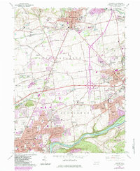
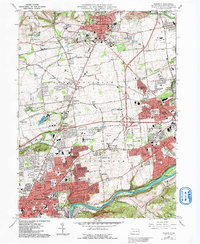
Nazareth and the northern reaches of Bethlehem anchor this landscape during a period of transition between industrial legacies and suburban expansion. The Lehigh River and the parallel Lehigh Canal define the southern border, marking the historic transportation corridor that once fueled the region's heavy industry. Several active quarries surround the borough of Nazareth, signaling the area's significance in the cement and stone trade. The map highlights numerous small unincorporated communities such as Christian Springs and Smoketown, which sit amidst a developing network of major highways and local thoroughfares like Newburg Road. Educational and social institutions are prominent, including the Moravian Seminary For Girls, the Gracedale County Home, and Northampton Community College. Geographic landmarks like Camelhump rise above the rolling landscape, while the Lehigh Valley RR continues to serve the industrial centers of Steel City and Freemansburg.
Find a feature on this map
99 named features on this map. Tap any name to fly to it.
Don’t see what you’re looking for? This feature index may not catch every label — zoom into the map to look around manually.
Map Details
Editions of this 1964 Nazareth Map
6 editions found
Other maps of this area

1890 · Easton
USGS Topo · 1:62,500

1891 · Easton
USGS Topo · 1:62,500

1891 · Delaware Water Gap
USGS Topo · 1:62,500

1893 · Delaware Water Gap
USGS Topo · 1:62,500

1894 · Allentown
USGS Topo · 1:62,500

1914 · Wind Gap
USGS Topo · 1:62,500

1916 · Wind Gap
USGS Topo · 1:62,500

1932 · Easton
USGS Topo · 1:62,500

1936 · Delaware Water Gap
USGS Topo · 1:48,000

1939 · Allentown
USGS Topo · 1:62,500