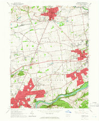
1964 Map of Nazareth
USGS Topo · Published 1966About this map
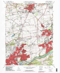
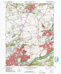
The industrialized corridor between Bethlehem and Nazareth shows a dense network of suburban expansion and institutional development in the mid-1960s. The northern focus is centered on the historic Moravian influence near Nazareth, where the Moravian Cem and Holy Family Ch stand alongside the Gracedale County Home. Further south, the landscape transitions from the agricultural crossroads of Hecktown and Newburg toward the growing residential hubs of Palmer Heights and East Hills.
Find a feature on this map
105 named features on this map. Tap any name to fly to it.
Don’t see what you’re looking for? This feature index may not catch every label — zoom into the map to look around manually.
Map Details
Editions of this 1964 Nazareth Map
6 editions found
Other maps of this area

1890 · Easton
USGS Topo · 1:62,500

1891 · Easton
USGS Topo · 1:62,500

1891 · Delaware Water Gap
USGS Topo · 1:62,500

1893 · Delaware Water Gap
USGS Topo · 1:62,500

1894 · Allentown
USGS Topo · 1:62,500

1914 · Wind Gap
USGS Topo · 1:62,500

1916 · Wind Gap
USGS Topo · 1:62,500

1932 · Easton
USGS Topo · 1:62,500

1936 · Delaware Water Gap
USGS Topo · 1:48,000

1939 · Allentown
USGS Topo · 1:62,500