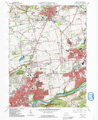
1964 Map of Nazareth
USGS Topo · Published 1992About this map
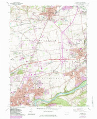
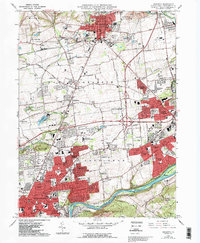
Nazareth serves as the focal point of this industrial and residential landscape in Northampton County, anchored by its historic Moravian heritage seen in landmarks like the Moravian Seminary For Girls. The map illustrates the intense development between the traditional borough centers and the rising urban reach of Bethlehem, where suburban neighborhoods such as East Hills and Middletown fill the gaps between older rural crossroads like Hecktown and Christian Springs.
Find a feature on this map
87 named features on this map. Tap any name to fly to it.
Don’t see what you’re looking for? This feature index may not catch every label — zoom into the map to look around manually.
Map Details
Editions of this 1964 Nazareth Map
6 editions found
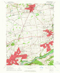
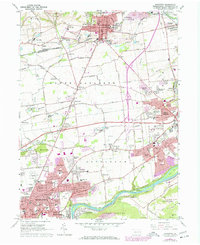
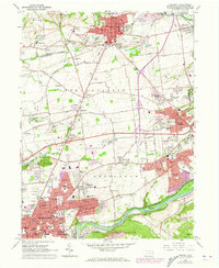
Other maps of this area

1890 · Easton
USGS Topo · 1:62,500

1891 · Easton
USGS Topo · 1:62,500

1891 · Delaware Water Gap
USGS Topo · 1:62,500

1893 · Delaware Water Gap
USGS Topo · 1:62,500

1894 · Allentown
USGS Topo · 1:62,500

1914 · Wind Gap
USGS Topo · 1:62,500

1916 · Wind Gap
USGS Topo · 1:62,500

1932 · Easton
USGS Topo · 1:62,500

1936 · Delaware Water Gap
USGS Topo · 1:48,000

1939 · Allentown
USGS Topo · 1:62,500