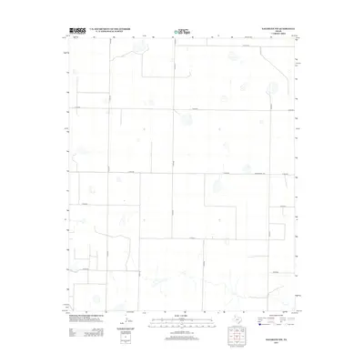
2012 Map of Nazareth NW
USGS Topo · Published 2012About this map
The high plains of Randall County exhibit a highly organized agricultural grid in the early twenty-first century. This landscape is defined by the intersection of numerous county routes, including Co Rd 520 and Co Rd 518, which facilitate the movement of goods across the Panhandle. A primary artery through the area is Ranch Road 1075, which serves as a vital connector for the local ranching and farming operations. The terrain is marked by seasonal water features and depressions typical of the region, interspersed between surveyed boundaries such as Co Line Rd. The geometric precision of roads like Co Rd Aa and Co Rd Bb reflects over a century of land management and rural development in this part of Texas.
Find a feature on this map
13 named features on this map. Tap any name to fly to it.
Don’t see what you’re looking for? This feature index may not catch every label — zoom into the map to look around manually.
Map Details
Editions of this 2012 Nazareth NW Map
This is the sole edition of this map. No revisions or reprints were ever made.
Other maps of this area

1954 · Clovis
USGS Topo · 1:250,000

1958 · Clovis
USGS Topo · 1:250,000

1961 · Buffalo Lake
USGS Topo · 1:62,500

1965 · Dimmitt
USGS Topo · 1:24,000

1965 · Nazareth SW
USGS Topo · 1:24,000

1965 · Nazareth
USGS Topo · 1:24,000

1966 · Jumbo
USGS Topo · 1:24,000

1966 · Nazareth NW
USGS Topo · 1:24,000

1966 · Arney
USGS Topo · 1:24,000

1971 · Hereford SE
USGS Topo · 1:24,000