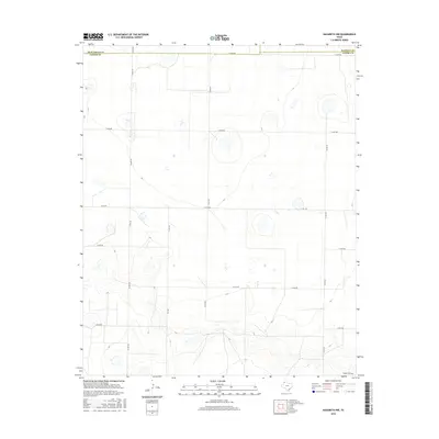
2016 Map of Nazareth NW
USGS Topo · Published 2016About this map
The High Plains of the Texas Panhandle are defined here by a geometric grid of rural section roads and the winding path of Middle Tule Draw. This 2016 survey highlights the intersection of three counties—Deaf Smith, Castro, and Randall—marking a sparsely populated agricultural landscape where movement is dictated by the precise alignments of routes like Co Line Rd and FM 1075. The drainage patterns of the draw contrast sharply with the rigid human-imposed boundaries, illustrating the environmental character of this upland region before it slopes toward more varied terrain. State-maintained routes such as FM 2567 provide the primary connectivity through this expansive prairie, which remains dedicated to large-scale ranching and farming operations.
Find a feature on this map
16 named features on this map. Tap any name to fly to it.
Don’t see what you’re looking for? This feature index may not catch every label — zoom into the map to look around manually.
Map Details
Editions of this 2016 Nazareth NW Map
This is the sole edition of this map. No revisions or reprints were ever made.
Other maps of this area

1954 · Clovis
USGS Topo · 1:250,000

1958 · Clovis
USGS Topo · 1:250,000

1961 · Buffalo Lake
USGS Topo · 1:62,500

1965 · Dimmitt
USGS Topo · 1:24,000

1965 · Nazareth SW
USGS Topo · 1:24,000

1965 · Nazareth
USGS Topo · 1:24,000

1966 · Jumbo
USGS Topo · 1:24,000

1966 · Nazareth NW
USGS Topo · 1:24,000

1966 · Arney
USGS Topo · 1:24,000

1971 · Hereford SE
USGS Topo · 1:24,000