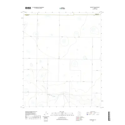
2019 Map of Nazareth NW
USGS Topo · Published 2019About this map
Middle Tule Draw defines the southern landscape of this High Plains quadrangle, carving a distinct drainage path through the surrounding agricultural tablelands. The terrain is characterized by numerous small depression wetlands and playas that punctuate the flat elevations typical of the Texas Panhandle. This area sits at the intersection of three counties, where the boundaries of Deaf Smith, Randall, and Castro counties meet.
Find a feature on this map
16 named features on this map. Tap any name to fly to it.
Don’t see what you’re looking for? This feature index may not catch every label — zoom into the map to look around manually.
Map Details
Editions of this 2019 Nazareth NW Map
This is the sole edition of this map. No revisions or reprints were ever made.
Other maps of this area

1954 · Clovis
USGS Topo · 1:250,000

1958 · Clovis
USGS Topo · 1:250,000

1961 · Buffalo Lake
USGS Topo · 1:62,500

1965 · Dimmitt
USGS Topo · 1:24,000

1965 · Nazareth SW
USGS Topo · 1:24,000

1965 · Nazareth
USGS Topo · 1:24,000

1966 · Jumbo
USGS Topo · 1:24,000

1966 · Nazareth NW
USGS Topo · 1:24,000

1966 · Arney
USGS Topo · 1:24,000

1971 · Hereford SE
USGS Topo · 1:24,000