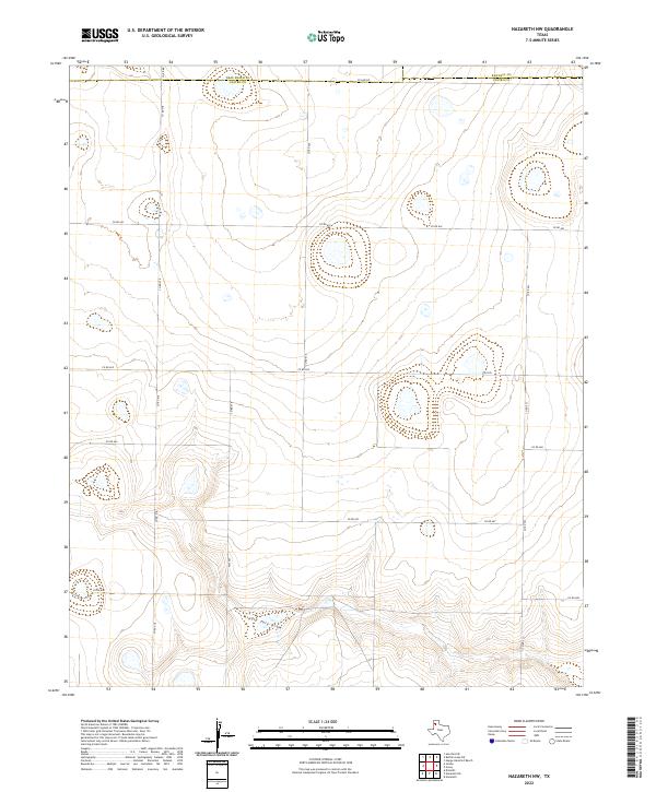
2022 Map of Nazareth NW
USGS Topo · Published 2022About this map
The High Plains landscape of the Texas Panhandle is defined here by the winding path of Middle Tule Draw, which cuts through the southern portion of the quadrangle. This 2022 survey captures the expansive agricultural character of Castro County, marked by a systematic grid of section roads and cattle-country infrastructure. The map documents the intersections of Fm 1075 and Fm 2567 with numerous county routes, including Co RD 518 and Co RD 605, which facilitate movement across this sparsely populated ranching and farming region. Significant administrative boundaries are represented along the northern edge, where the Deaf Smith County line and Randall County line converge, meeting at the descriptive Co Line Rd. The terrain is characterized by numerous small playa lakes and depressions, typical of the Llano Estacado, providing a detailed look at the hydrology and land use patterns of contemporary West Texas.
Find a feature on this map
16 named features on this map. Tap any name to fly to it.
Don’t see what you’re looking for? This feature index may not catch every label — zoom into the map to look around manually.
Map Details
Editions of this 2022 Nazareth NW Map
This is the sole edition of this map. No revisions or reprints were ever made.
Other maps of this area

1954 · Clovis
USGS Topo · 1:250,000

1958 · Clovis
USGS Topo · 1:250,000

1961 · Buffalo Lake
USGS Topo · 1:62,500

1965 · Dimmitt
USGS Topo · 1:24,000

1965 · Nazareth SW
USGS Topo · 1:24,000

1965 · Nazareth
USGS Topo · 1:24,000

1966 · Jumbo
USGS Topo · 1:24,000

1966 · Nazareth NW
USGS Topo · 1:24,000

1966 · Arney
USGS Topo · 1:24,000

1971 · Hereford SE
USGS Topo · 1:24,000