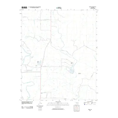
2009 Map of Nebo
USGS Topo · Published 2009About this map
The Washita River and its major tributaries, Oil Creek and Denmark Creek, define the drainage and ranchland landscape of this Carter County region. The terrain is notably marked by the Seven Sisters Hills, which rise above a network of local ranch roads including Pat Howell Rd and Daube Ranch Rd. This 2009 survey reflects the rural, water-managed character of the area, featuring several substantial water control structures such as the Goddard Ranch 1 Dam and Okrioname 069002 Dam. Family-named sites and aviation landmarks like the Goddard Ranch Airport indicate the modern land use patterns. Genealogists will find several burial grounds mapped here, including Young Cemetery, Hutchins Cemetery, and Lone Cedar Cemetery, each serving as a fixed point of reference for local family histories in this part of Oklahoma.
Find a feature on this map
24 named features on this map. Tap any name to fly to it.
Don’t see what you’re looking for? This feature index may not catch every label — zoom into the map to look around manually.
Map Details
Editions of this 2009 Nebo Map
This is the sole edition of this map. No revisions or reprints were ever made.
Other maps of this area

1901 · Tishomingo
USGS Topo · 1:125,000

1901 · Ardmore
USGS Topo · 1:125,000

1918 · Ardmore
USGS Topo · 1:125,000

1957 · Ardmore
USGS Topo · 1:250,000

1963 · Ardmore
USGS Topo · 1:250,000

1963 · Mannsville
USGS Topo · 1:24,000

1963 · Sulphur South
USGS Topo · 1:24,000

1963 · Mill Creek
USGS Topo · 1:24,000

1963 · Troy
USGS Topo · 1:24,000

1963 · Ravia
USGS Topo · 1:24,000