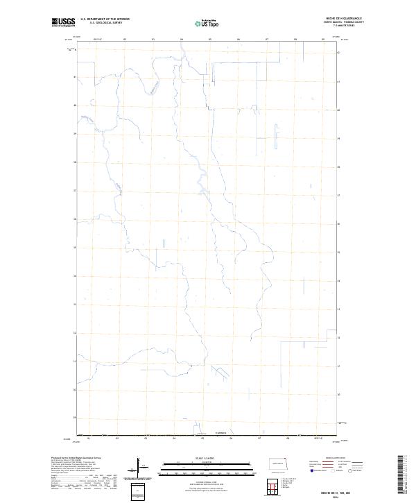
2024 Map of Neche OE N
USGS Topo · Published 2024About this map
Buffalo Creek meanders through this portion of Pembina County, defining a landscape of northern prairie and agricultural drainage near the international border. This 2024 survey captures the intricate waterway network where the creek and Buffalo Drain serve as primary hydrological features in an area dominated by large-scale section-line divisions. Positioned immediately south of Canada, the map illustrates how these watercourses dictate the local topography in a region where the land is primarily partitioned into open fields and rural drainage systems.
Find a feature on this map
3 named features on this map. Tap any name to fly to it.
Don’t see what you’re looking for? This feature index may not catch every label — zoom into the map to look around manually.
Map Details
Editions of this 2024 Neche OE N Map
This is the sole edition of this map. No revisions or reprints were ever made.
Other maps of this area

1939 · Cavalier
USGS Topo · 1:62,500

1941 · Cavalier
USGS Topo · 1:62,500

1941 · Bathgate
USGS Topo · 1:62,500

1952 · Thief River Falls
USGS Topo · 1:250,000

1956 · Thief River Falls
USGS Topo · 1:250,000

1957 · Thief River Falls
USGS Topo · 1:250,000

1964 · Neche
USGS Topo · 1:24,000
1964 · Cavalier NW
USGS Topo · 1:24,000

1967 · Thief River Falls
USGS Topo · 1:250,000
1971 · Bathgate
USGS Topo · 1:24,000