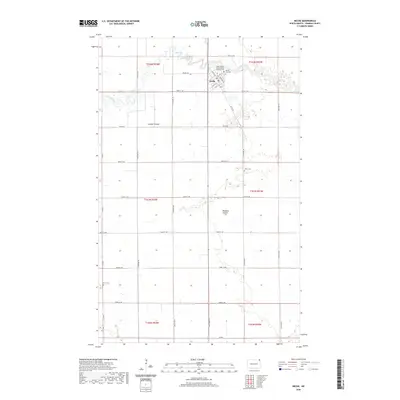
2020 Map of Neche
USGS Topo · Published 2020About this map
Neche sits at the northern edge of the Red River Valley, where the winding Pembina River cuts through the flat agricultural landscape near the international border. The town's grid is defined by streets like Main Ave and Madison Ave, reflecting a traditional prairie settlement pattern. Outside the town center, the landscape is dominated by section lines and drainage features like Louden Coulee and Rosebud Coulee, which manage the water levels of this fertile region. Genealogists will find several burial grounds of note, including the Saints Nereus and Achilleus Catholic Cem and Neche City Cem located just north of the village, as well as the more isolated Union Cem and Bruce Cem scattered across the surrounding townships.
Find a feature on this map
38 named features on this map. Tap any name to fly to it.
Don’t see what you’re looking for? This feature index may not catch every label — zoom into the map to look around manually.
Map Details
Editions of this 2020 Neche Map
This is the sole edition of this map. No revisions or reprints were ever made.
Other maps of this area

1939 · Cavalier
USGS Topo · 1:62,500

1941 · Cavalier
USGS Topo · 1:62,500

1941 · Bathgate
USGS Topo · 1:62,500

1952 · Thief River Falls
USGS Topo · 1:250,000

1956 · Thief River Falls
USGS Topo · 1:250,000

1957 · Thief River Falls
USGS Topo · 1:250,000

1964 · Neche
USGS Topo · 1:24,000
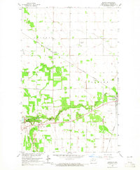
1964 · Backoo
USGS Topo · 1:24,000
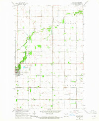
1964 · Cavalier
USGS Topo · 1:24,000
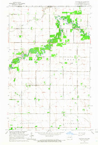
1964 · Cavalier NW
USGS Topo · 1:24,000