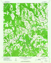
1961 Map of Nectar
USGS Topo · Published 1963About this map
The Locust Fork of the Black Warrior River carves a dramatic, winding path through this portion of Blount County, creating deeply incised meanders like Johnson Bend, Standridge Bend, and Gilman Bend. In the early 1960s, this landscape was defined by small ridge-top settlements and river-bottom crossings, including a Covered Bridge and Vaughns Bridge. The rural character is reinforced by numerous country churches, such as Nectar Heights Ch and Union Grove Ch, which served the scattered communities of Nectar and Harkness Crossroads.
Find a feature on this map
57 named features on this map. Tap any name to fly to it.
Don’t see what you’re looking for? This feature index may not catch every label — zoom into the map to look around manually.
Map Details
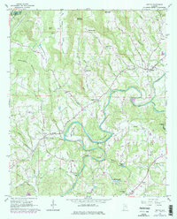
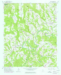
Editions of this 1961 Nectar Map
3 editions found
Other maps of this area

1888 · Cullman
USGS Topo · 1:125,000

1889 · Birmingham
USGS Topo · 1:125,000

1892 · Cullman
USGS Topo · 1:125,000

1892 · Birmingham
USGS Topo · 1:125,000

1895 · Birmingham
USGS Topo · 1:125,000

1907 · Birmingham
USGS Topo · 1:125,000

1951 · Warrior
USGS Topo · 1:24,000

1951 · Blount Springs
USGS Topo · 1:24,000

1953 · Birmingham
USGS Topo · 1:250,000

1956 · Birmingham
USGS Topo · 1:250,000