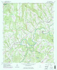
1961 Map of Nectar
USGS Topo · Published 1978About this map
The Locust Fork of the Black Warrior River carves a winding path through this portion of Blount County, creating dramatic loops like Standridge Bend and Gilman Bend. In this rural Alabama landscape, small communities and crossroads such as Nectar, Wallstown, and Harkness Crossroads serve as local hubs. The topography is defined by significant ridges and coves, including McAnnally Mountain and Hog Mountain, which hem in the narrow valleys.
Find a feature on this map
53 named features on this map. Tap any name to fly to it.
Don’t see what you’re looking for? This feature index may not catch every label — zoom into the map to look around manually.
Map Details
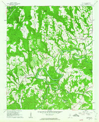
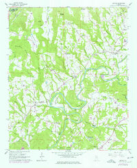
Editions of this 1961 Nectar Map
3 editions found
Other maps of this area

1888 · Cullman
USGS Topo · 1:125,000

1889 · Birmingham
USGS Topo · 1:125,000

1892 · Cullman
USGS Topo · 1:125,000

1892 · Birmingham
USGS Topo · 1:125,000

1895 · Birmingham
USGS Topo · 1:125,000

1907 · Birmingham
USGS Topo · 1:125,000

1951 · Warrior
USGS Topo · 1:24,000

1951 · Blount Springs
USGS Topo · 1:24,000

1953 · Birmingham
USGS Topo · 1:250,000

1956 · Birmingham
USGS Topo · 1:250,000