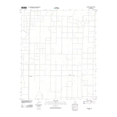
2010 Map of Needmore
USGS Topo · Published 2010About this map
Needmore and Circleback anchor this rural Texas landscape during the early 21st century. The map reveals a strictly organized grid of county roads and farm-to-market routes that define the agricultural character of Bailey County. A network of local roads such as Co Rd 1133, Co Rd 1170, and Co Rd 1181 provides access to the expansive open acreage between the small settlement hubs. The landscape is dotted with numerous small, unnamed depressions and water features characteristic of the High Plains terrain. Key transit corridors including FM 298 and FM 748 connect these remote communities, reflecting the region's long-standing reliance on its road network for agricultural transport and local commerce.
Find a feature on this map
23 named features on this map. Tap any name to fly to it.
Don’t see what you’re looking for? This feature index may not catch every label — zoom into the map to look around manually.
Map Details
Editions of this 2010 Needmore Map
This is the sole edition of this map. No revisions or reprints were ever made.
Other maps of this area

1954 · Clovis
USGS Topo · 1:250,000

1954 · Brownfield
USGS Topo · 1:250,000

1958 · Brownfield
USGS Topo · 1:250,000

1958 · Clovis
USGS Topo · 1:250,000

1962 · Brownfield
USGS Topo · 1:250,000

1962 · Muleshoe
USGS Topo · 1:24,000

1962 · Needmore
USGS Topo · 1:24,000

1962 · Baileyboro NE
USGS Topo · 1:24,000

1962 · Baileyboro
USGS Topo · 1:24,000

1962 · Sudan
USGS Topo · 1:24,000