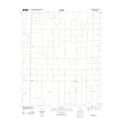
2012 Map of Needmore
USGS Topo · Published 2012About this map
Needmore and Circleback anchor this rural landscape in Bailey County during the early twenty-first century. The map reveals a strictly organized grid of agricultural land, defined by a complex network of county roads including Co Rd 197 and Co Rd-1170. These routes intersect with regional arteries like Farm-To-Market Road 3397 and Fm-298, reflecting the transportation patterns essential for the High Plains farming economy. Small depressions and playa lakes are scattered across the terrain, notably near Co Rd-1181 and Co Rd-227, serving as critical geographic markers in this semi-arid region. The dual labeling of Circleback and Circle Back suggests local variation in the name of this small community.
Find a feature on this map
29 named features on this map. Tap any name to fly to it.
Don’t see what you’re looking for? This feature index may not catch every label — zoom into the map to look around manually.
Map Details
Editions of this 2012 Needmore Map
This is the sole edition of this map. No revisions or reprints were ever made.
Other maps of this area

1954 · Clovis
USGS Topo · 1:250,000

1954 · Brownfield
USGS Topo · 1:250,000

1958 · Brownfield
USGS Topo · 1:250,000

1958 · Clovis
USGS Topo · 1:250,000

1962 · Brownfield
USGS Topo · 1:250,000

1962 · Muleshoe
USGS Topo · 1:24,000

1962 · Needmore
USGS Topo · 1:24,000

1962 · Baileyboro NE
USGS Topo · 1:24,000

1962 · Baileyboro
USGS Topo · 1:24,000

1962 · Sudan
USGS Topo · 1:24,000