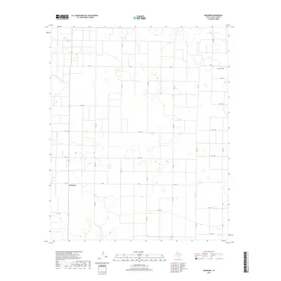
2019 Map of Needmore
USGS Topo · Published 2019About this map
Needmore stands as the central settlement in this high plains landscape of western Texas, situated at the junction of Fm 298 and State Highway 214. The terrain is defined by a rigid grid of agricultural roads, such as Co Rd 186 and Co Rd 1170, which partition the land into large industrial farming tracts. These plots are frequently punctuated by small, intermittent depressions or seasonal wetlands characteristic of the Llano Estacado. To the northeast, Fairview Field represents a localized landmark within this expansive geometric patchwork. The distribution of farm-to-market roads like Fm 746 and Fm 3397 illustrates the critical transport network required to move local yields from these isolated fields to regional processing centers.
Find a feature on this map
27 named features on this map. Tap any name to fly to it.
Don’t see what you’re looking for? This feature index may not catch every label — zoom into the map to look around manually.
Map Details
Editions of this 2019 Needmore Map
This is the sole edition of this map. No revisions or reprints were ever made.
Other maps of this area

1954 · Clovis
USGS Topo · 1:250,000

1954 · Brownfield
USGS Topo · 1:250,000

1958 · Brownfield
USGS Topo · 1:250,000

1958 · Clovis
USGS Topo · 1:250,000

1962 · Brownfield
USGS Topo · 1:250,000

1962 · Muleshoe
USGS Topo · 1:24,000

1962 · Needmore
USGS Topo · 1:24,000

1962 · Baileyboro NE
USGS Topo · 1:24,000

1962 · Baileyboro
USGS Topo · 1:24,000

1962 · Sudan
USGS Topo · 1:24,000