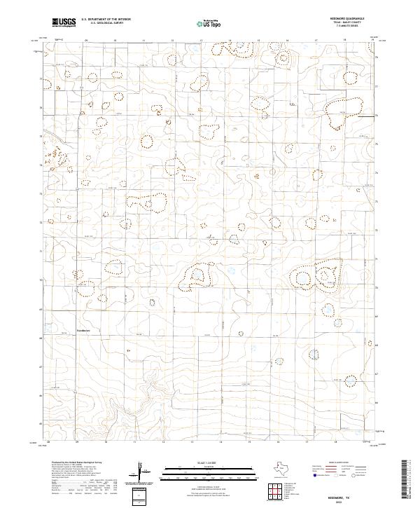
2022 Map of Needmore
USGS Topo · Published 2022About this map
Needmore serves as the focal point for this section of the High Plains, where the agricultural landscape of Bailey County is defined by a precise grid of rural routes. The map illustrates a territory dominated by large-scale farming and ranching, evidenced by the extensive network of farm-to-market roads and county lanes such as FM 298 and Co Rd 197. Unlike many regions defined by topographical variations, this landscape is shaped by human geometry, with roads like FM 746 and Co Rd 1133 stretching across the plains to connect isolated farmsteads. The drainage patterns and small depressions across the terrain highlight the unique hydrology of the Panhandle, where water management is central to the local economy and settlement pattern.
Find a feature on this map
25 named features on this map. Tap any name to fly to it.
Don’t see what you’re looking for? This feature index may not catch every label — zoom into the map to look around manually.
Map Details
Editions of this 2022 Needmore Map
This is the sole edition of this map. No revisions or reprints were ever made.
Other maps of this area

1954 · Clovis
USGS Topo · 1:250,000

1954 · Brownfield
USGS Topo · 1:250,000

1958 · Brownfield
USGS Topo · 1:250,000

1958 · Clovis
USGS Topo · 1:250,000

1962 · Brownfield
USGS Topo · 1:250,000

1962 · Muleshoe
USGS Topo · 1:24,000

1962 · Needmore
USGS Topo · 1:24,000

1962 · Baileyboro NE
USGS Topo · 1:24,000

1962 · Baileyboro
USGS Topo · 1:24,000

1962 · Sudan
USGS Topo · 1:24,000