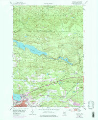
1953 Map of Negaunee
USGS Topo · Published 1977About this map
Negaunee serves as the industrial and civic heart of this Michigan Iron Range landscape, where the heavy footprints of 20th-century mining and transportation are clearly etched. The iron heritage is evidenced by the Negaunee Mine and Maas Mine, while the Lake Superior and Ishpeming Railroad and Duluth South Shore and Atlantic create a dense network for moving ore toward the Great Lakes. The terrain is defined by water management and public infrastructure, from the large Dead River Storage Basin and its McClure Dam to the Marquette County Airport and the Drive-in Theater nearby. Beyond the industrial zones, the Escanaba River State Forest covers the northern reaches, characterized by a complex system of creeks like Nash Creek and Bismarck Creek. Cultural sites such as the Negaunee Cemetery and Morgan Heights Sanatorium provide essential context for local genealogists studying the community's mid-century growth.
Find a feature on this map
46 named features on this map. Tap any name to fly to it.
Don’t see what you’re looking for? This feature index may not catch every label — zoom into the map to look around manually.
Map Details
Editions of this 1953 Negaunee Map
4 editions found
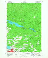
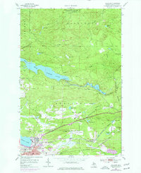
Other maps of this area

1907 · Marquette
USGS Topo · 1:62,500

1932 · Harvey NW
USGS Topo · 1:31,680

1952 · Sands
USGS Topo · 1:24,000

1952 · Ishpeming
USGS Topo · 1:62,500

1952 · Ishpeming
USGS Topo · 1:24,000

1952 · Gwinn
USGS Topo · 1:62,500

1952 · Palmer
USGS Topo · 1:24,000

1953 · Marquette NW
USGS Topo · 1:24,000

1953 · Negaunee
USGS Topo · 1:24,000

1954 · Negaunee SW
USGS Topo · 1:24,000
Featured Places
- Negaunee, MI
- Negaunee Township, MI
- Marquette Township, MI
- Ishpeming Township, MI
- Beverly Hills, Negaunee