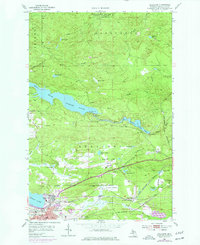
1953 Map of Negaunee
USGS Topo · Published 1977About this map
Iron mining operations and complex rail infrastructure define Negaunee during the mid-20th century. The landscape is marked by substantial industrial footprints, including the Mather Mine B, Maas Mine, and Negaunee Mine, illustrating the intense extraction that fueled the regional economy. This industrial core is bounded by the Negaunee City Boundary and softened by the waters of Teal Lake to the west. To the north, the Escanaba River State Forest covers a rugged terrain of small lakes like Nash Lake and Club Lake.
Find a feature on this map
46 named features on this map. Tap any name to fly to it.
Don’t see what you’re looking for? This feature index may not catch every label — zoom into the map to look around manually.
Map Details
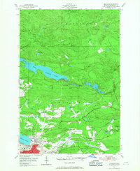
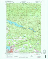
Editions of this 1953 Negaunee Map
4 editions found
Other maps of this area

1907 · Marquette
USGS Topo · 1:62,500

1932 · Harvey NW
USGS Topo · 1:31,680

1952 · Sands
USGS Topo · 1:24,000

1952 · Ishpeming
USGS Topo · 1:62,500

1952 · Ishpeming
USGS Topo · 1:24,000

1952 · Gwinn
USGS Topo · 1:62,500

1952 · Palmer
USGS Topo · 1:24,000

1953 · Marquette NW
USGS Topo · 1:24,000

1953 · Negaunee
USGS Topo · 1:24,000

1954 · Negaunee SW
USGS Topo · 1:24,000
Featured Places
- Negaunee, MI
- Negaunee Township, MI
- Marquette Township, MI
- Ishpeming Township, MI
- Beverly Hills, Negaunee