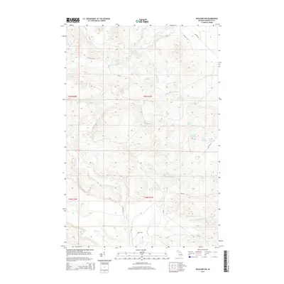
2014 Map of Negaunee NW
USGS Topo · Published 2014About this map
Yellow Dog River Falls and Big Pup Falls highlight a landscape defined by significant elevation changes and numerous watercourses in this northern Marquette County terrain. The northern reaches are dominated by the Yellow Dog River, which is fed by tributaries like Bushy Creek Falls and Alder Cr. To the south, the drainage pattern shifts toward the Big Garlic River and Little Garlic River systems. Transportation through this heavily forested area is limited to rural routes such as CR-510 and the descriptively named Gold Mine Rd. A cluster of water bodies including Regan Lake and the sequential First Bass Lake, Second Bass Lake, and Third Bass Lake suggests a geography shaped by glacial activity, offering a detailed view of the Michigan wilderness before further modern development.
Find a feature on this map
33 named features on this map. Tap any name to fly to it.
Don’t see what you’re looking for? This feature index may not catch every label — zoom into the map to look around manually.
Map Details
Editions of this 2014 Negaunee NW Map
This is the sole edition of this map. No revisions or reprints were ever made.
Other maps of this area

1953 · Negaunee
USGS Topo · 1:24,000

1954 · Negaunee SW
USGS Topo · 1:24,000

1954 · Negaunee
USGS Topo · 1:62,500

1954 · Huron Mountain
USGS Topo · 1:62,500

1954 · Big Bay
USGS Topo · 1:62,500

1955 · Diorite
USGS Topo · 1:24,000

1955 · Champion
USGS Topo · 1:62,500

1958 · Marquette
USGS Topo · 1:250,000

1960 · Marquette
USGS Topo · 1:250,000

1961 · Marquette
USGS Topo · 1:250,000