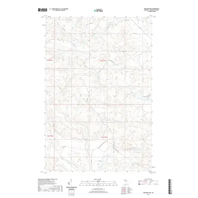
2019 Map of Negaunee NW
USGS Topo · Published 2019About this map
The Yellow Dog River and its various tributaries define the hydrology of this Marquette County landscape. This 2019 survey captures a series of notable elevation drops, marked by Yellow Dog River Falls, Bushy Creek Falls, Big Pup Falls, and Big Garlic River Falls. The geography is shaped by the transition from the Yellow Dog watershed in the north to the Big Garlic River system in the south, separated by high ridges that contain several named basins, including Regan Lake and a chain of three Bass Lakes. Human footprints are mostly limited to primitive routes such as Gold Mine Rd, Suzuki Trl, and the N Country National Scenic Trail. This map offers a detailed view of the remote drainage patterns and backcountry trail networks as they existed in the late 2010s.
Find a feature on this map
37 named features on this map. Tap any name to fly to it.
Don’t see what you’re looking for? This feature index may not catch every label — zoom into the map to look around manually.
Map Details
Editions of this 2019 Negaunee NW Map
This is the sole edition of this map. No revisions or reprints were ever made.
Other maps of this area

1953 · Negaunee
USGS Topo · 1:24,000

1954 · Negaunee SW
USGS Topo · 1:24,000

1954 · Negaunee
USGS Topo · 1:62,500

1954 · Huron Mountain
USGS Topo · 1:62,500

1954 · Big Bay
USGS Topo · 1:62,500

1955 · Diorite
USGS Topo · 1:24,000

1955 · Champion
USGS Topo · 1:62,500

1958 · Marquette
USGS Topo · 1:250,000

1960 · Marquette
USGS Topo · 1:250,000

1961 · Marquette
USGS Topo · 1:250,000