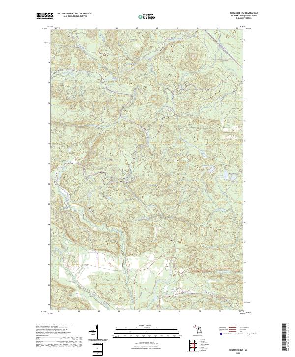
2023 Map of Negaunee NW
USGS Topo · Published 2023About this map
The Yellow Dog River and Big Garlic River systems dominate this northern Michigan landscape, characterized by numerous cascading water features including Bushy Creek Falls, Yellow Dog River Falls, and Big Garlic River Falls. The terrain is a network of drainage basins and high ridges, where the North Country National Scenic Trl traverses the southern half of the quadrangle. In the eastern portion, a cluster of water bodies including First Bass Lake, Second Bass Lake, and Third Bass Lake sit near Regan Lake. This modern survey reveals a region primarily defined by its hydrology and recreation trails, with historical industrial markers like Gold Mine Rd providing a link to the area's geological prospecting past. The drainage patterns of Little Pup Creek and Big Pup Creek further illustrate the complex watershed of this Marquette County wilderness.
Find a feature on this map
39 named features on this map. Tap any name to fly to it.
Don’t see what you’re looking for? This feature index may not catch every label — zoom into the map to look around manually.
Map Details
Editions of this 2023 Negaunee NW Map
This is the sole edition of this map. No revisions or reprints were ever made.
Other maps of this area

1953 · Negaunee
USGS Topo · 1:24,000

1954 · Negaunee SW
USGS Topo · 1:24,000

1954 · Negaunee
USGS Topo · 1:62,500

1954 · Huron Mountain
USGS Topo · 1:62,500

1954 · Big Bay
USGS Topo · 1:62,500

1955 · Diorite
USGS Topo · 1:24,000

1955 · Champion
USGS Topo · 1:62,500

1958 · Marquette
USGS Topo · 1:250,000

1960 · Marquette
USGS Topo · 1:250,000

1961 · Marquette
USGS Topo · 1:250,000