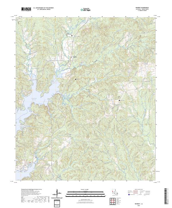
2024 Map of Negreet
USGS Topo · Published 2024About this map
Toledo Bend Reservoir dominates the western landscape of this Sabine Parish region, its complex shoreline creating numerous inlets and points near the settlement of Esto. The topography is defined by an intricate network of drainages including Negreet Creek, Brushy Creek, and Big Skinner Creek, which feed into the reservoir system. This modern survey illustrates the persistent rural character of the area, centered around small communities like Negreet and Dess. Local history is anchored by several burial grounds, such as Redland Cem and Antioch Cem, which often represent the earliest established points of settlement in the timber-rich hills. A dense web of local roads like Zion Hill Rd and Dess Rd connects these scattered homes and crossroads, reflecting the enduring residential patterns of this part of Louisiana.
Find a feature on this map
67 named features on this map. Tap any name to fly to it.
Don’t see what you’re looking for? This feature index may not catch every label — zoom into the map to look around manually.
Map Details
Editions of this 2024 Negreet Map
This is the sole edition of this map. No revisions or reprints were ever made.
Other maps of this area

1941 · Zwolle
USGS Topo · 1:62,500

1942 · Many
USGS Topo · 1:62,500

1942 · Florien
USGS Topo · 1:62,500

1943 · Many
USGS Topo · 1:62,500

1944 · Negreet
USGS Topo · 1:62,500

1944 · Florien
USGS Topo · 1:62,500

1944 · Zwolle
USGS Topo · 1:62,500

1953 · Alexandria
USGS Topo · 1:250,000

1954 · Toro
USGS Topo · 1:24,000

1954 · Columbus
USGS Topo · 1:24,000