
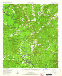
1954 Map of Negreet
USGS Topo · Published 1958About this map
The Sabine River winds through this mid-century landscape, forming the critical border between Sabine Parish and Texas. This survey captures a series of river-dependent ecosystems including Cypress Slash and Harpers Bend, alongside numerous oxbow features like Black Lake and Cutoff Pond. Small rural communities such as Negreet and Columbus anchor the road network, supported by essential local landmarks like McFarland Store and Toro High School.
Find a feature on this map
80 named features on this map. Tap any name to fly to it.
Don’t see what you’re looking for? This feature index may not catch every label — zoom into the map to look around manually.
Map Details
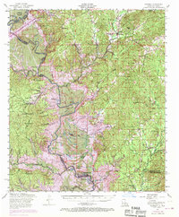
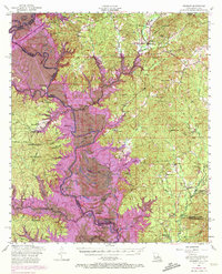
Editions of this 1954 Negreet Map
4 editions found
Other maps of this area

1941 · Leesville
USGS Topo · 1:62,500

1941 · Zwolle
USGS Topo · 1:62,500

1942 · Many
USGS Topo · 1:62,500

1942 · Florien
USGS Topo · 1:62,500

1943 · Leesville
USGS Topo · 1:62,500

1943 · Many
USGS Topo · 1:62,500

1944 · Negreet
USGS Topo · 1:62,500

1944 · Wiergate
USGS Topo · 1:62,500

1944 · Patroon
USGS Topo · 1:62,500

1944 · Florien
USGS Topo · 1:62,500