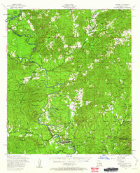
1954 Map of Negreet
USGS Topo · Published 1962About this map
Sabine River dominates this mid-century landscape, carving a serpentine boundary between Louisiana and Texas. The river's natural course is defined by intricate features like Harpers Bend and Edison Camp Bend, surrounded by a dense network of sloughs and backwaters including Blackland Slough, Cypress Slash, and Gum Lake. This area, largely contained within the Sabine National Forest, shows the region before the creation of the Toledo Bend Reservoir, preserving the original topography of river bluffs like Goodlow Bluff and crossings such as the Pendleton Bridge.
Find a feature on this map
82 named features on this map. Tap any name to fly to it.
Don’t see what you’re looking for? This feature index may not catch every label — zoom into the map to look around manually.
Map Details
Editions of this 1954 Negreet Map
4 editions found

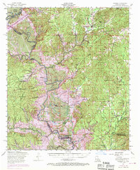
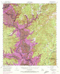
Other maps of this area

1941 · Leesville
USGS Topo · 1:62,500

1941 · Zwolle
USGS Topo · 1:62,500

1942 · Many
USGS Topo · 1:62,500

1942 · Florien
USGS Topo · 1:62,500

1943 · Leesville
USGS Topo · 1:62,500

1943 · Many
USGS Topo · 1:62,500

1944 · Negreet
USGS Topo · 1:62,500

1944 · Wiergate
USGS Topo · 1:62,500

1944 · Patroon
USGS Topo · 1:62,500

1944 · Florien
USGS Topo · 1:62,500