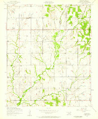
1956 Map of Nellie
USGS Topo · Published 1959About this map
Nellie and the surrounding ranching and petroleum lands of Stephens County are captured here during the mid-1950s. The landscape is a patchwork of agricultural activity and industrial extraction, with numerous Oil wells and associated Slush tanks scattered across the terrain. Public life centers around the Oak Lawn Community Center and several rural religious and educational institutions, most notably Central High School and Central Church.
Find a feature on this map
19 named features on this map. Tap any name to fly to it.
Don’t see what you’re looking for? This feature index may not catch every label — zoom into the map to look around manually.
Map Details
Editions of this 1956 Nellie Map
2 editions found
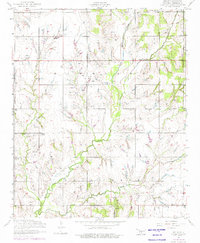
Other maps of this area
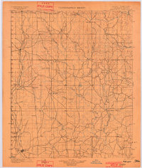
1901 · Addington
USGS Topo · 1:125,000
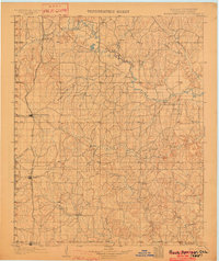
1902 · Rush Springs
USGS Topo · 1:125,000
1949 · Nellie
USGS Topo · 1:62,500
1950 · Marlow
USGS Topo · 1:62,500
1951 · Marlow
USGS Topo · 1:62,500

1955 · Lawton
USGS Topo · 1:250,000
1956 · Sterling
USGS Topo · 1:24,000
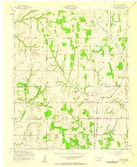
1956 · Denton
USGS Topo · 1:24,000
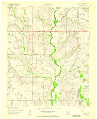
1956 · Letitia
USGS Topo · 1:24,000
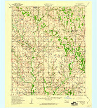
1956 · Nellie
USGS Topo · 1:62,500