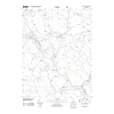
2011 Map of Nelsonville
USGS Topo · Published 2011About this map
The Hocking River valley serves as the primary corridor for settlement and transit in this Athens County region, where the city of Nelsonville anchors a network of smaller communities like Buchtel and Chauncey. The landscape is defined by its deep hollows and high ridges, including Utah Ridge and Bethel Ridge, which shaped the development of local roads such as Pancake Rd and Snake Hollow Rd.
Find a feature on this map
94 named features on this map. Tap any name to fly to it.
Don’t see what you’re looking for? This feature index may not catch every label — zoom into the map to look around manually.
Map Details
Editions of this 2011 Nelsonville Map
This is the sole edition of this map. No revisions or reprints were ever made.
Other maps of this area

1903 · Athens
USGS Topo · 1:62,500

1904 · Zaleski
USGS Topo · 1:62,500

1905 · Athens
USGS Topo · 1:62,500

1907 · Zaleski
USGS Topo · 1:62,500

1907 · Logan
USGS Topo · 1:62,500

1909 · Logan
USGS Topo · 1:62,500

1911 · New Lexington
USGS Topo · 1:62,500

1947 · Columbus
USGS Topo · 1:250,000

1961 · Columbus
USGS Topo · 1:250,000

1961 · Nelsonville
USGS Topo · 1:24,000