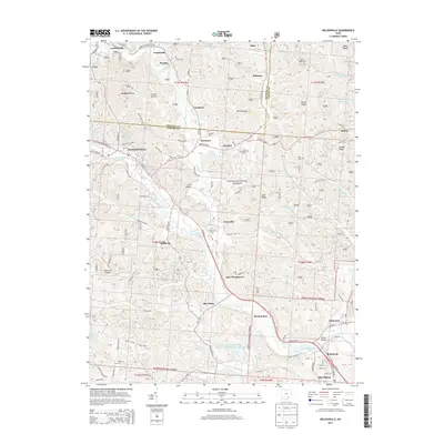
2013 Map of Nelsonville
USGS Topo · Published 2013About this map
Nelsonville and the Hocking River corridor define the industrial and educational heart of this region within the Wayne National Forest. The map documents a dense network of small company towns and settlements like Buchtel, Doanville, and Chauncey, reflecting the legacy of coal mining and early industry in Athens and Hocking Counties. Several local burial grounds, including Buchtel Cem, Greenlawn Cem, and Pedigo Cem, provide essential data for genealogical research. The presence of Hocking Coll and the sprawl of The Plains in the southeast indicate the area's transition toward modern institutional and residential growth. Notable terrain features like Carbon Hill and Utah Ridge illustrate the dissected topography that historically complicated transportation but facilitated the extraction of natural resources.
Find a feature on this map
103 named features on this map. Tap any name to fly to it.
Don’t see what you’re looking for? This feature index may not catch every label — zoom into the map to look around manually.
Map Details
Editions of this 2013 Nelsonville Map
This is the sole edition of this map. No revisions or reprints were ever made.
Other maps of this area

1903 · Athens
USGS Topo · 1:62,500

1904 · Zaleski
USGS Topo · 1:62,500

1905 · Athens
USGS Topo · 1:62,500

1907 · Zaleski
USGS Topo · 1:62,500

1907 · Logan
USGS Topo · 1:62,500

1909 · Logan
USGS Topo · 1:62,500

1911 · New Lexington
USGS Topo · 1:62,500

1947 · Columbus
USGS Topo · 1:250,000

1961 · Columbus
USGS Topo · 1:250,000

1961 · Nelsonville
USGS Topo · 1:24,000