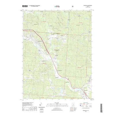
2019 Map of Nelsonville
USGS Topo · Published 2019About this map
The Hocking River valley anchors this detailed 2019 survey of the Athens County coal region, centered on Nelsonville. This area is defined by its deep relationship with the Wayne National Forest, where a dense network of modern recreation paths like the Snake Hollow Trail and Main Corridor Trail weave through the ridges. The settlement pattern follows the narrow creek beds and river flats, connecting established towns such as Buchtel and Chauncey with smaller locales like Doanville, Kimberly, and New Floodwood.
Find a feature on this map
93 named features on this map. Tap any name to fly to it.
Don’t see what you’re looking for? This feature index may not catch every label — zoom into the map to look around manually.
Map Details
Editions of this 2019 Nelsonville Map
This is the sole edition of this map. No revisions or reprints were ever made.
Other maps of this area

1903 · Athens
USGS Topo · 1:62,500

1904 · Zaleski
USGS Topo · 1:62,500

1905 · Athens
USGS Topo · 1:62,500

1907 · Zaleski
USGS Topo · 1:62,500

1907 · Logan
USGS Topo · 1:62,500

1909 · Logan
USGS Topo · 1:62,500

1911 · New Lexington
USGS Topo · 1:62,500

1947 · Columbus
USGS Topo · 1:250,000

1961 · Columbus
USGS Topo · 1:250,000

1961 · Nelsonville
USGS Topo · 1:24,000