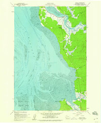
1957 Map of Nemah
USGS Topo · Published 1959About this map
Willapa Bay dominates this coastal landscape, where the tides shape the complex interactions of river mouths and salt marshes in Pacific County. The 1950s shoreline is defined by expansive areas of mud and tidal flats, protected in part by the southern reaches of the Willapa National Wildlife Refuge. Coastal settlements like Rhodesia Beach and the inland community of Nemah are connected by a network of early roads, including Dike Road and Gatens Road, which navigate the low-lying terrain. The map records a working landscape of named holdings such as Rose Ranch and Minks Ranch alongside the intricate branching of the Palix River and Nemah River systems. Water navigation is critical, evidenced by the detailed charting of the Nahcotta Channel, Stanley Channel, and navigation aids like the Mission Azimuth marker.
Find a feature on this map
35 named features on this map. Tap any name to fly to it.
Don’t see what you’re looking for? This feature index may not catch every label — zoom into the map to look around manually.
Map Details
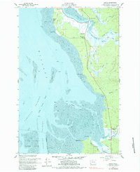
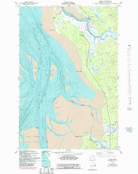
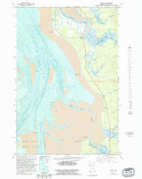
Editions of this 1957 Nemah Map
4 editions found
Other maps of this area

1938 · Cape Disappointment
USGS Topo · 1:62,500

1938 · Cape Shoalwater
USGS Topo · 1:62,500

1938 · Fort Columbia
USGS Topo · 1:62,500

1938 · South Bend
USGS Topo · 1:62,500

1940 · South Bend
USGS Topo · 1:62,500

1943 · Fort Columbia
USGS Topo · 1:62,500

1943 · Copalis Beach
USGS Topo · 1:250,000

1949 · Oman Ranch
USGS Topo · 1:24,000

1949 · Ocean Park
USGS Topo · 1:24,000

1949 · Long Island
USGS Topo · 1:24,000