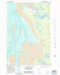
1957 Map of Nemah
USGS Topo · Published 1995About this map
Willapa Bay dominates this coastal landscape, where the tides dictate the shape of the shoreline across the Nemah Flats and several intricate tidal channels. In the mid-20th century, the network of the Palix River and Nemah River created a complex aquatic environment, supporting specialized local sites like Minks Ranch and Rose Ranch. The map captures the transition from water to land along Dike Road and near the Palix State Wildlife Area. Small coastal settlements such as Rhodesia Beach and the crossroads at Nemah Junction provide a look at the modest development and transport routes of Pacific County during this era. The detailed bathymetric data shows the winding paths of Nahcotta Channel and Gatens Channel, which were critical for local navigation before modern shoreline changes.
Find a feature on this map
30 named features on this map. Tap any name to fly to it.
Don’t see what you’re looking for? This feature index may not catch every label — zoom into the map to look around manually.
Map Details
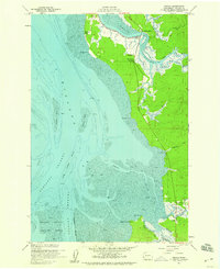
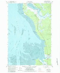
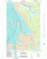
Editions of this 1957 Nemah Map
4 editions found
Other maps of this area

1938 · Cape Disappointment
USGS Topo · 1:62,500

1938 · Cape Shoalwater
USGS Topo · 1:62,500

1938 · Fort Columbia
USGS Topo · 1:62,500

1938 · South Bend
USGS Topo · 1:62,500

1940 · South Bend
USGS Topo · 1:62,500

1943 · Fort Columbia
USGS Topo · 1:62,500

1943 · Copalis Beach
USGS Topo · 1:250,000

1949 · Oman Ranch
USGS Topo · 1:24,000

1949 · Ocean Park
USGS Topo · 1:24,000

1949 · Long Island
USGS Topo · 1:24,000