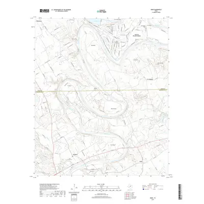
2019 Map of Nemo
USGS Topo · Published 2019About this map
The Brazos River creates a winding geography of dramatic peninsulas across this terrain, defining the local landscape through a series of pronounced loops known as Carmichael Bend, De Cordova Bend, Abby Bend, Cox Bend, and Mitchell Bend. This hydrologic pattern has historically dictated settlement and land use, from the residential development of Pecan Plantation and its Pecan Plantation Airport in the north to the quieter reaches of Rainbow and Nemo to the south.
Find a feature on this map
111 named features on this map. Tap any name to fly to it.
Don’t see what you’re looking for? This feature index may not catch every label — zoom into the map to look around manually.
Map Details
Editions of this 2019 Nemo Map
This is the sole edition of this map. No revisions or reprints were ever made.
Other maps of this area

1889 · Granbury
USGS Topo · 1:125,000

1923 · Granbury 2-a
USGS Topo · 1:48,000

1923 · Granbury 1-b
USGS Topo · 1:48,000

1924 · Granbury 1-c
USGS Topo · 1:48,000

1924 · Granbury 4-a
USGS Topo · 1:48,000

1928 · Godley
USGS Topo · 1:62,500

1931 · Morgan
USGS Topo · 1:62,500

1931 · Tolar
USGS Topo · 1:62,500

1954 · Dallas
USGS Topo · 1:250,000

1958 · Dallas
USGS Topo · 1:250,000