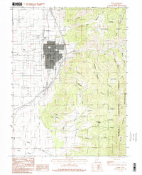
1983 Map of Nephi
USGS Topo · Published 1986About this map
Nephi sits at the junction of mountain and valley terrain in the early 1980s, serving as a prominent hub in the Juab Valley. The map illustrates a transitional landscape where the urban grid meets the rising slopes of the San Pitch Mountains and the Uinta National Forest. Infrastructure developments are evident, with major roadwork labeled as under construction south of the main settlement.
Find a feature on this map
41 named features on this map. Tap any name to fly to it.
Don’t see what you’re looking for? This feature index may not catch every label — zoom into the map to look around manually.
Map Details
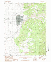
Editions of this 1983 Nephi Map
2 editions found
Other maps of this area

1885 · Manti
USGS Topo · 1:250,000

1895 · Manti
USGS Topo · 1:250,000

1951 · Moroni
USGS Topo · 1:62,500

1951 · Santaquin
USGS Topo · 1:62,500

1951 · Nephi
USGS Topo · 1:62,500

1952 · Santaquin Peak
USGS Topo · 1:62,500

1956 · Price
USGS Topo · 1:250,000

1960 · Price
USGS Topo · 1:250,000

1962 · Price
USGS Topo · 1:250,000
1979 · Slate Jack Canyon
USGS Topo · 1:24,000