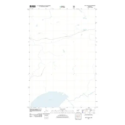
2011 Map of Nett Lake NE
USGS Topo · Published 2011About this map
Nett Lake dominates the southern landscape of this northern Minnesota region, serving as a primary hydrological focal point for the surrounding wetlands and forests. The area is defined by a dense network of watercourses, including the Rat Root River in the north and the Lost River and Portage Creek in the south, which weave through a largely undeveloped terrain. This 2011 survey by the U.S. Geological Survey illustrates the isolation of the territory, where transit is restricted to a few key corridors such as Ash Lake Rd and Res Hwy 5. The drainage patterns and the presence of these named rivers highlight the significance of the local watershed in Saint Louis County, providing a clear view of the environmental characteristics before more contemporary land-use changes.
Find a feature on this map
6 named features on this map. Tap any name to fly to it.
Don’t see what you’re looking for? This feature index may not catch every label — zoom into the map to look around manually.
Map Details
Editions of this 2011 Nett Lake NE Map
This is the sole edition of this map. No revisions or reprints were ever made.
Other maps of this area

1954 · International Falls
USGS Topo · 1:250,000

1957 · International Falls
USGS Topo · 1:250,000

1958 · International Falls
USGS Topo · 1:250,000

1968 · Ash Lake
USGS Topo · 1:24,000

1968 · Ash River SW
USGS Topo · 1:24,000

1968 · Orr SW
USGS Topo · 1:24,000

1969 · Ray SE
USGS Topo · 1:24,000

1969 · Nett Lake
USGS Topo · 1:24,000

1969 · Ray SW
USGS Topo · 1:24,000

1969 · Nett Lake NE
USGS Topo · 1:24,000