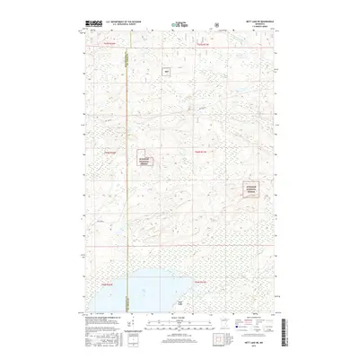
2016 Map of Nett Lake NE
USGS Topo · Published 2016About this map
The northern reaches of Nett Lake and its surrounding wetlands define this landscape along the border of Koochiching and St. Louis counties. The map illustrates a remote wilderness character largely managed as part of the Superior National Forest (marked here also as Snf), where drainage patterns dictate the terrain. Waterways like the Rat Root River, Lost River, and Portage Cr wind through low-lying marshlands and forested tracks, revealing the intricate hydrography of the Border Lakes region. Human infrastructure is sparse, limited to a few arterial routes such as Ash Lake Rd and Resyn Hwy 5 that provide access to the dense timberland and tribal lands. This survey is particularly useful for understanding the modern boundary between the national forest and the neighboring reservation lands at the time of the 2016 data collection.
Find a feature on this map
15 named features on this map. Tap any name to fly to it.
Don’t see what you’re looking for? This feature index may not catch every label — zoom into the map to look around manually.
Map Details
Editions of this 2016 Nett Lake NE Map
This is the sole edition of this map. No revisions or reprints were ever made.
Other maps of this area

1954 · International Falls
USGS Topo · 1:250,000

1957 · International Falls
USGS Topo · 1:250,000

1958 · International Falls
USGS Topo · 1:250,000

1968 · Ash Lake
USGS Topo · 1:24,000

1968 · Ash River SW
USGS Topo · 1:24,000

1968 · Orr SW
USGS Topo · 1:24,000

1969 · Ray SE
USGS Topo · 1:24,000

1969 · Nett Lake
USGS Topo · 1:24,000

1969 · Ray SW
USGS Topo · 1:24,000

1969 · Nett Lake NE
USGS Topo · 1:24,000