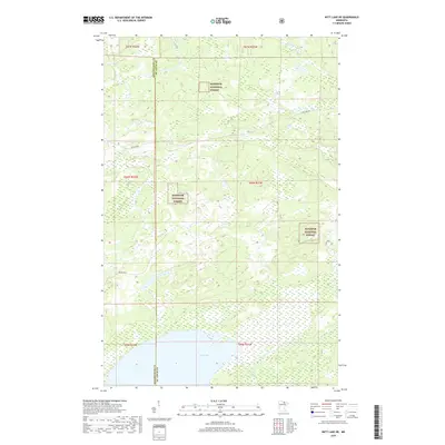
2019 Map of Nett Lake NE
USGS Topo · Published 2019About this map
Superior National Forest encompasses much of this landscape along the border of Koochiching and St. Louis counties. The terrain is defined by its extensive water network and low-lying wetlands, where the Rat Root River and Lost River snake through dense forest cover. Human impact is concentrated along a few key corridors such as Ash Lake Rd and Resvn Hwy 5, which provide the primary access to this interior wilderness. The Presence of Portage Cr indicates the historical importance of waterway navigation in a region where traditional land routes are often interrupted by the complex hydrology of the Minnesota Northwoods.
Find a feature on this map
13 named features on this map. Tap any name to fly to it.
Don’t see what you’re looking for? This feature index may not catch every label — zoom into the map to look around manually.
Map Details
Editions of this 2019 Nett Lake NE Map
This is the sole edition of this map. No revisions or reprints were ever made.
Other maps of this area

1954 · International Falls
USGS Topo · 1:250,000

1957 · International Falls
USGS Topo · 1:250,000

1958 · International Falls
USGS Topo · 1:250,000

1968 · Ash Lake
USGS Topo · 1:24,000

1968 · Ash River SW
USGS Topo · 1:24,000

1968 · Orr SW
USGS Topo · 1:24,000

1969 · Ray SE
USGS Topo · 1:24,000

1969 · Nett Lake
USGS Topo · 1:24,000

1969 · Ray SW
USGS Topo · 1:24,000

1969 · Nett Lake NE
USGS Topo · 1:24,000