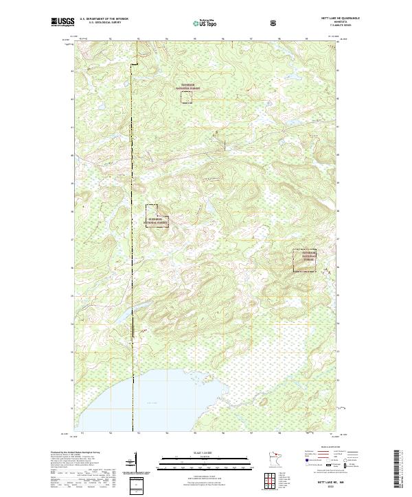
2022 Map of Nett Lake NE
USGS Topo · Published 2022About this map
Superior National Forest encompasses the vast majority of this landscape, where dense northern woodlands are punctuated by an intricate network of waterways and timber trails. In the southwest corner, the northern reaches of Nett Lake transition into a labyrinth of wetlands fed by Portage Cr. This area is defined by its transition across the Koochiching and St. Louis county line, where the topography is largely shaped by drainage patterns heading toward the Rat Root River and Lost River. The map documents a modern infrastructure of forestry and access roads, including Ash Lake Rd and Resvn Hwy 5, alongside a specialized trail system featuring Flea Trl and Lilah Road Trl. These pathways provide essential connectivity through the protected forest sections of Township 66 North, Range 21 West and surrounding blocks, illustrating the contemporary management of Minnesota’s wilderness resources.
Find a feature on this map
20 named features on this map. Tap any name to fly to it.
Don’t see what you’re looking for? This feature index may not catch every label — zoom into the map to look around manually.
Map Details
Editions of this 2022 Nett Lake NE Map
This is the sole edition of this map. No revisions or reprints were ever made.
Other maps of this area

1954 · International Falls
USGS Topo · 1:250,000

1957 · International Falls
USGS Topo · 1:250,000

1958 · International Falls
USGS Topo · 1:250,000

1968 · Ash Lake
USGS Topo · 1:24,000

1968 · Ash River SW
USGS Topo · 1:24,000

1968 · Orr SW
USGS Topo · 1:24,000

1969 · Ray SE
USGS Topo · 1:24,000

1969 · Nett Lake
USGS Topo · 1:24,000

1969 · Ray SW
USGS Topo · 1:24,000

1969 · Nett Lake NE
USGS Topo · 1:24,000