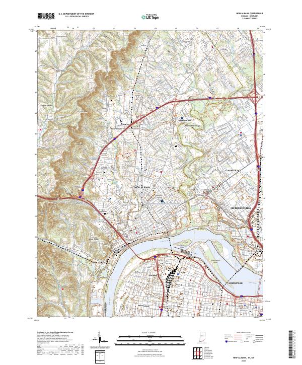
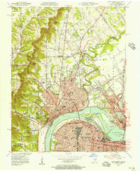
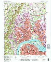
2023 Map of New Albany
USGS Topo · Published 2023This historical map portrays the area of New Albany in 2023, primarily covering Floyd County as well as portions of Floyd County and Kentucky. Featuring a scale of 1:24000, this map provides a highly detailed snapshot of the terrain, roads, buildings, counties, and historical landmarks in the New Albany region at the time. Published in 2023, it is the sole known edition of this map.
Map Details
Editions of this 2023 New Albany Map
This is the sole edition of this map. No revisions or reprints were ever made.
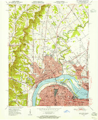
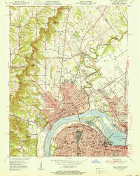
Historical Maps of Silver Hills Through Time
10 maps found

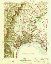
1939 New Albany
Floyd County, IN
1946 New Albany
Floyd County, IN
1950 New Albany
Floyd County, IN
1951 New Albany
Floyd County, IN
1955 New Albany
Floyd County, IN
1960 New Albany
Floyd County, IN
1965 New Albany
Floyd County, IN
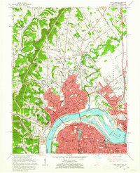
1982 New Albany
Floyd County, IN
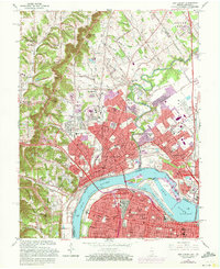
1992 New Albany
Floyd County, IN
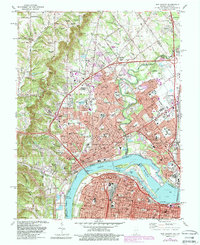
2023 New Albany
Floyd County, IN